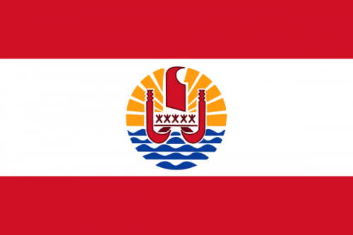
French PolynesiaInformation/Travel Guide
Discover French Polynesia in this map. The most exciting sights, the best hotels, a diverse nightlife, recommended restaurants and more for your French Polynesia vacation. Updated constantly, free and available for desktop/smartphone/tablet.
French Polynesia ( POL-in-EE-zhə; French: Polynésie française [pɔlinezi fʁɑ̃sɛːz]; Tahitian: Pōrīnetia Farāni) is an overseas collectivity of France and its sole overseas country. It comprises 121 geographically dispersed islands and atolls stretching over more than 2,000 kilometres (1,200 mi) in the South Pacific Ocean. The total land area of French Polynesia is 3,521 square kilometres (1,359 sq mi), with a pop... (read more on Wikipedia)
Calling code: +689 | Area: 4,167.00 km² | Inception: 1842
MapMap for French Polynesia (173 locations, show in full screen)
InformationInformation about French Polynesia
CommentsComments about this page (0)
You can add comments for this map below. Are there important locations missing or is some data incorrect/outdated? Do you have suggestions that might be helpful for other travelers? We´d be glad to get your feedback. More information about data privacy, netiquette can be found here.
Additional maps: American Samoa, Australia, Christmas Island, Cocos (Keeling) Islands, Cook Islands, Federated States of Micronesia, Fiji, Guam, Kiribati, Marshall Islands, Nauru, New Caledonia, New Zealand, Niue, Norfolk Island, Northern Mariana Islands, Palau, Papua New Guinea, Pitcairn Islands, Samoa, Solomon Islands, Timor-Leste / East Timor, Tonga, Tuvalu, Vanuatu, Wallis and Futuna

 79° F
79° F