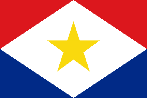
SabaInformation/Travel Guide
Discover Saba in this map. The most exciting sights, the best hotels, a diverse nightlife, recommended restaurants and more for your Saba vacation. Updated constantly, free and available for desktop/smartphone/tablet.
Saba (Dutch: Saba, pronounced [ˈsaːbaː]) is a Caribbean island and the smallest special municipality (officially "public body") of the Netherlands. It consists largely of the dormant volcano Mount Scenery, which at 887 metres (2,910 ft) is the highest point of the entire Kingdom of the Netherlands. The island lies in the northern Leeward Islands portion of the West Indies, southeast of the Virgin Islands. Together with B... (read more on Wikipedia)
Calling code: +5994 (599) | Area: 13.00 km² | Inception: 2010
MapMap for Saba (1 locations, show in full screen)
InformationInformation about Saba
CommentsComments about this page (0)
You can add comments for this map below. Are there important locations missing or is some data incorrect/outdated? Do you have suggestions that might be helpful for other travelers? We´d be glad to get your feedback. More information about data privacy, netiquette can be found here.
Additional maps: Anguilla, Antigua and Barbuda, Aruba, Barbados, Belize, Bermuda, Bonaire, British Virgin Islands (BVI), Cayman Islands, Costa Rica, Cuba, Curaçao, Dominica, Dominican Republic, El Salvador, Grenada, Guadeloupe, Guatemala, Haiti, Honduras, Jamaica, Martinique, Montserrat, Nicaragua, Panama, Puerto Rico, Saint Barthélemy, Saint Kitts and Nevis, Saint Lucia, Saint Martin, Saint Vincent and the Grenadines, Sint Eustatius, Sint Maarten, The Bahamas, Trinidad and Tobago, Turks and Caicos Islands, U.S. Virgin Islands

 77° F
77° F